 Tractor GPS
How to Map a Field Boundary with Your Phone
A useful field map starts with the right goal
Are you making a working outline so you can find a field and start an operation, or do you need a legally surveyed property line? A phone-drawn boundary can help with the first job. It shouldn't stand in for a survey when ownership, a contract, or another high-stakes decision is involved.
Draw it, then look twice
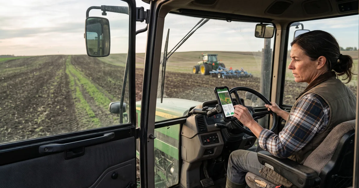
Open the map, trace the field outline, and close the shape. Zoom in where an edge bends around a ditch, access road, or tree line. It's easy to tap on the wrong side of an irregular corner when you're looking at a small screen. Give the field a name you'll recognize next month, instead of calling every field "Field 1."
Check the acres
The estimated acreage comes from the outline you drew. One misplaced point can noticeably change that number, so compare it with your existing field records and revisit any suspicious corners. Once the outline looks right for day-to-day operations, save it and use it when choosing a field for guidance. If the acreage has legal or financial consequences, consult the appropriate survey or authoritative records.
Sources
Try Tractor GPS on your phone
Turn your phone or tablet into a practical GPS field guidance tool — AB lines, field boundaries, area measurement, and work logs.
Download on the App Store